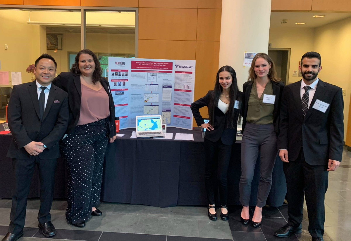
At the 2019 Washington GIS Conference, The Seattle University Sound Transit team competed and won second place in the Dick Thomas Award. The team is comprised of civil and electrical engineering students, and they worked on an Interactive Noise Map Application (INMA) for Customer Access to Light Rail Noise Data. The students on the team are Abdulrahman Alsammahi (ECE), Raghad Ashoor (CE), Don Dang (ECE), Emily Graham (CE), Kirsten Hooper (CE), and their Sound Transit sponsors are Craig DeLalla, PE and Shankar Rajaram, PhD.
Because noise from new train projects is a concern for communities residing along Sound Transit’s future Link extension alignments, Sound Transit requested that the team design a web application displaying Link Light Rail project noise information in a format that is easily accessible to communities. As a pilot project, INT 19.2 created a map of the Lynnwood Link Expansion project displaying noise data in a clear and intuitive format and built a website to display noise data from a web address that will be accessible using smartphones, tablets or computers. The map has an interactive feature that will allow community members to search for their individual home or business address and get detailed noise information specific to their location. This feature improves the efficiency of accessing noise information for community members and Sound Transit staff. The website that the team is providing Sound Transit is also scalable for other Link Light Rail projects to insert new noise data into a database, which will then update the noise map. The team provided Sound Transit with the designed website, a detailed technical report of the chosen design approach and a user manual for future updates and improvements.
The Dick Thomas award was established in 2006 to honor Washington State GIS pioneer and mentor Richard “Dick” Thomas. The intent of this award is to honor Dick by continuing his work of encouraging students to present their original research in GIS, geography, or a related discipline at the annual Washington GIS Conference. WAURISA’s objective is to inspire students to present their original work related to GIS, geography, or geographic research at the annual Washington GIS Conference. The competition has three parts. The first part is the submission of abstracts describing original work in GIS or a related field. The second part is the review of abstracts by the Dick Thomas Competition judges and selection of finalists for the presentation competition. The third part is for the finalists to present their work (as detailed in the abstract) at the annual Washington GIS Conference. Dick Thomas 1947 – 2006 DTA FAQ Page 2 of 7 Finalists competed in one of two tracks: independent research or class project. Up to four (4) abstracts were selected for each track, depending on whether the project was completed as a class project or as an independent research project, (such as internship or graduate thesis).
The Sound Transit team won the following award:
Dick Thomas Second Place Award Certificate
$250
One-year membership in WAURISA
Publication of paper in The Summit
Congratulations to our students for winning this award!

